Marine electronics
How chartplotters, AIS, radar, sonar, batteries, boat networks, and satellite links behave on a working boat.
-
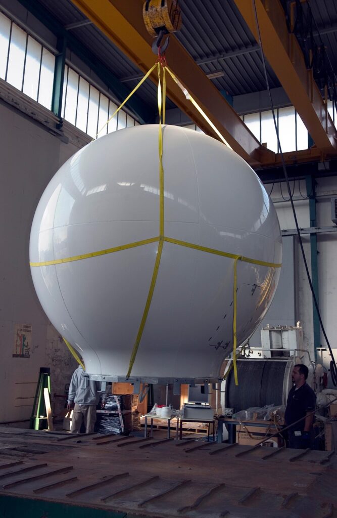
What satellite internet changes aboard—and what still has to work with no link
Satellite internet is a sky-facing terminal and a data plan. Charts, AIS, and radar must work when the link drops; marina Wi-Fi ends at the dock.
-
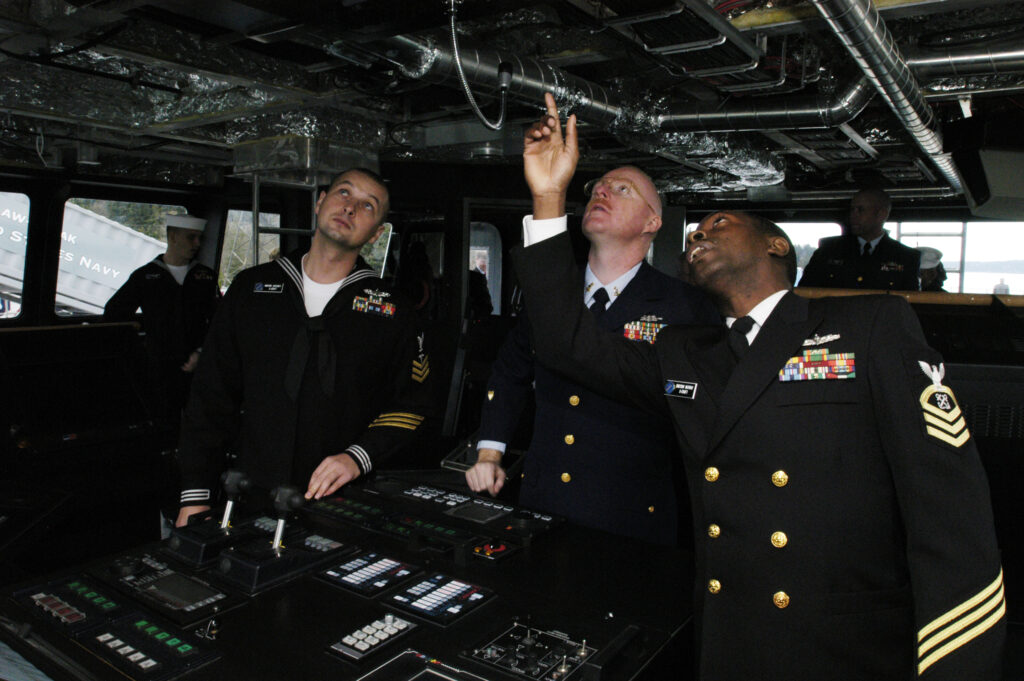
What NMEA Is Doing Between Your Instruments
NMEA lets one depth, heading, or position sentence reach several displays. Here is how 0183 and 2000 differ—and why two GPS sources break trust.
-
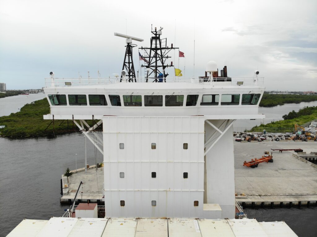
Why boat Wi-Fi is not the navigation network
Boat Wi-Fi serves phones and tablets. The plotter, AIS, and autopilot stay on the boat’s own instrument network when the dock disappears.
-
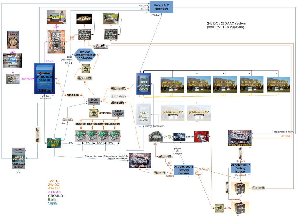
How to size a marine battery for electronics, not just for starting
A start battery CCA is not house-bank amp-hours. How cranking differs from hours of plotter, radar, and lights—and what to decide first.
-
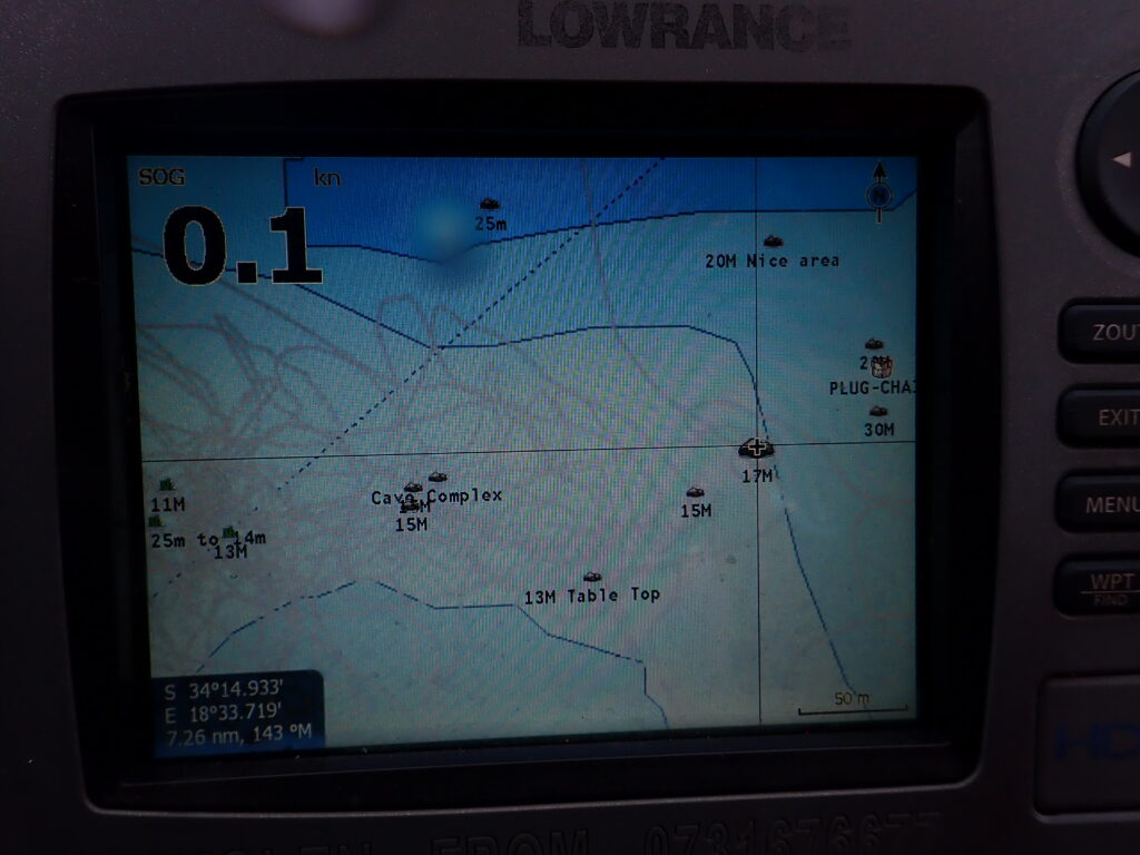
Depth Number, Fish-Finder View, and Side Picture: What Each Display Answers
On a small boat, depth numbers, fish-finder views, side pictures, and ROV cameras answer different questions—not the same proof.
-
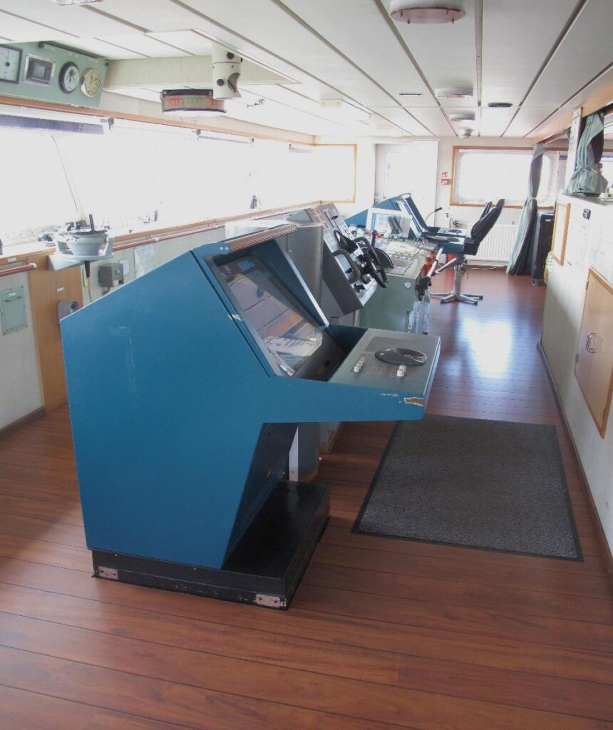
What AIS tells you about another vessel—and what it never will
AIS shows name, position, course, and speed only for vessels transmitting—not silent boats. Why it is not a lookout.
-
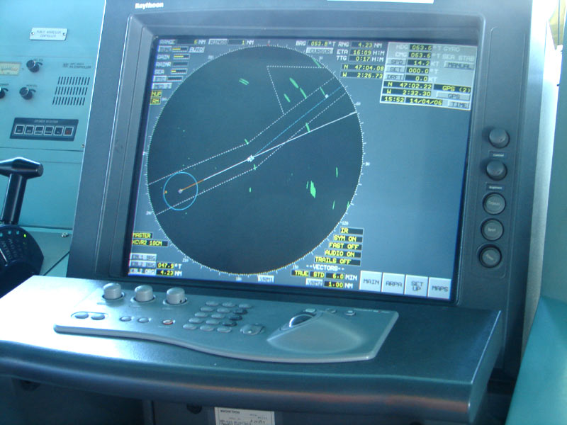
What marine radar shows that the chartplotter does not
Marine radar paints land, rain, and vessel returns the chartplotter never draws. Overlay is not the radar picture—and fog is when you read returns first.
-
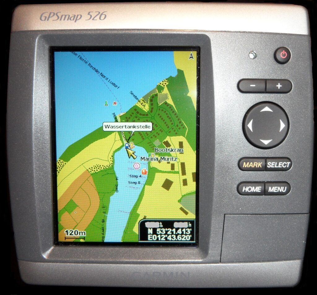
How to read a chartplotter when the chart and the GPS disagree
When the chartplotter boat symbol and the chart disagree, separate a wrong datum or wrong chart from a lost GPS antenna before following any line.