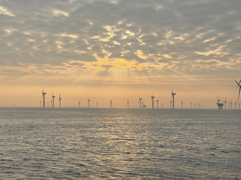
On an offshore wind farm, robots and sensors are there to look at turbines, foundations, and subsea cables—above the waterline or below it—when a published technical page says that is the job. That work is an equipment job: a camera, a sonar, or a sensor records a named object. It stops being that job when the page is an investment pitch. Nothing in an inspection description is an invitation to enter the site.
Answer box
- Right for this job: A survey or operations page that names the object under check (cable burial, foundation, blade surface) and the tool (ROV, underwater camera, sonar, or aerial drone) used for that look. Source: BOEM New England Wind Survey Equipment List (COP Appendix I-H); U.S. Department of Energy offshore-wind O&M roadmap; DOE Sandia blade-reliability page. Opened September 29, 2026.
- Wrong for this job: An investment pitch that talks about returns, ownership, or “opportunity” without naming what an ROV or sensor is inspecting. Treat the money language as a pitch, not as an equipment fact.
- The number that decides it: Not applicable as a single numeric threshold on the pages opened. The deciding question is whether the page names both the inspection target and the tool—not a yield figure.
- What the spec leaves out: The BOEM survey-equipment list names ROVs and underwater cameras among high-resolution visual systems for inspecting cable-burial depth and foundations; it does not, on the pages used here, turn that into a public boarding route or a visitor checklist. The DOE blade pages describe drone visual checks of blade surfaces; they do not authorize approaching a turbine.
- Check before you rely on it: Confirm the page still names the object and the tool. If burial depth, turbine count, or megawatt rating is not stated on the page you opened, write “not stated” and do not invent it.
- Last checked: September 29, 2026
What the turbine, the cable, and the vehicle are doing
An offshore wind site is not one object. The pages opened for this article split the work into parts that sit in different places and need different passes.
Below the surface, the New England Wind Construction and Operations Plan survey-equipment appendix filed with the Bureau of Ocean Energy Management (BOEM) describes geophysical surveys run just before construction, during construction, and after construction. The stated purposes include pre-lay surveys, checking site conditions, confirming that components were installed as intended, as-built surveys, inspecting the depth of cable burial, and inspecting foundations. The instruments listed for that work include side-scan sonar, single-beam and multibeam echosounders, magnetometers, sub-bottom profilers, support systems such as positioning and motion sensors, and high-resolution visual imaging systems. The appendix explicitly gives remotely operated vehicles (ROVs) and underwater cameras as examples of those visual systems. It also lists survey-class ROVs by name among industry-standard options—including a Sea Rover survey-class ROV with a 4K video camera and a DSSI Sea Max MK2 survey-class ROV—alongside towed and fixed underwater cameras. In plain terms: the ROV is there to gather high-resolution pictures underwater of the cable-burial check and of foundations, while sonar and related sensors store acoustic and positioning readings of the seabed and installed hardware. That is an equipment description on a regulatory filing, not a finance deck.
Above the surface, a different pass looks at blades. The U.S. Department of Energy’s An Operations and Maintenance Roadmap for U.S. Offshore Wind states that visual inspections are performed at regularly scheduled intervals to detect visible damage and defects on the surface of the blades, and that those inspections can identify surface cracks, leading-edge erosion, impact damage, and lightning damage. The roadmap says those inspections are typically carried out by drones, with later down-tower visuals via cameras and binoculars or other up-tower methods also mentioned in the same practice section. A separate DOE page on Sandia National Laboratories’ blade work makes the same split in shorter form: inspections are performed either with telephoto cameras from the ground or using aerial drones, and those methods are described as reasonably good at finding visible damage while lacking the ability, on that page’s own wording, to detect early hidden damage inside the composite. That aerial or camera pass is above the waterline. It is not the same pass as an ROV swimming past a foundation or along a cable corridor.
None of those pages, as opened for this article, describe how to climb a turbine, how to enter an exclusion zone, or how to approach a live cable. They name what gets checked and which class of tool does the looking. A sensor on the survey list stores a reading—depth, position, motion, sound velocity, magnetic field, or acoustic return—so the survey can be tied to a place. An ROV carries a camera (and may work with sonar systems listed on the same equipment sheet). An aerial drone, when the DOE roadmap or the Sandia page mentions it, is there to look at blade surfaces for the visible defects those pages name. Keep the jobs separate: foundation and cable burial below; blade surface above.
How this fails differently from a hull recording
Sibling article “What a hull-inspection ROV recording must show” makes a simple point: a useful underwater record still needs a subject, a distance, and a way to find the same place again. A cable or foundation video with no position is weak evidence for the same reason a hull clip with no mark is weak evidence. The BOEM survey list does not treat the ROV as entertainment footage. It places ROVs and underwater cameras inside a survey kit that also includes positioning systems, motion sensors, and navigation software. The recording job fails when the clip cannot be tied back to the foundation or cable segment it claims to show.
That failure mode is different from a pitch deck’s failure mode. A pitch can sound confident about capacity or cash flow and still supply no subject, no standoff distance, and no relocateable position for a foundation or export-cable segment. Ignore the money language. Ask whether the page would let someone later find the same foundation or cable corridor that the ROV filmed. If it cannot, it is not doing the equipment job—even if it mentions wind.
Sibling theme from “What an ocean sensor measures, and what a data platform adds” applies here too: a dashboard is not a new measurement. The DOE roadmap discusses monitoring, sensing, and inspection data and notes that interpretation varies across the industry. A colorful plant overview does not replace the sensor reading or the ROV frame that named the object. If the platform cannot point to the stored reading or the visual pass, it has not added an inspection fact.
What the reader can check
Open the same pages. Do not invent targets the page does not name.
- BOEM / New England Wind COP Appendix I-H, Survey Equipment List (February 2024 public PDF; equipment list prepared October 2021): https://www.boem.gov/sites/default/files/documents/renewable-energy/state-activities/NE%20Wind%20COP%20App%20I-H%20Survey%20Equipment_Feb%202024_PUBLIC.pdf — Opened September 29, 2026. Look for: inspecting the depth of cable burial; inspecting foundations; high-resolution visual imaging systems exemplified as ROVs and underwater cameras; named survey-class ROVs and cameras. Burial depth as a numeric target is not stated on this equipment list page as opened; write “not stated” rather than borrowing a depth from another filing. Turbine count is not stated on this list.
- U.S. Department of Energy, An Operations and Maintenance Roadmap for U.S. Offshore Wind: https://www.energy.gov/documents/operations-and-maintenace-roadmap-us-offshore-wind — Opened September 29, 2026. Look for: visual inspections of blade surfaces; surface cracks, leading-edge erosion, impact, and lightning damage; drones as the typical carrier for those visual checks. This is an O&M technical roadmap, not an investment pitch; still ignore any cost framing if you only need the inspection object and tool.
- U.S. Department of Energy, “Robotic Systems Improve Blade Reliability” (Sandia / WETO): https://www.energy.gov/cmei/systems/articles/robotic-systems-improve-blade-reliability — Opened September 29, 2026. Look for: telephoto cameras or aerial drones for visible blade damage; the page’s own limit that those methods do not, as described there, find early hidden subsurface damage. Crawler details on that page describe a research inspection robot for blades; they are not steps for boarding a commercial turbine.
If a future page only pitches ownership or returns and never names the ROV’s target, label it a pitch and set the equipment claim aside.
The decision: equipment description or pitch
Read each page as an equipment description only when it names what is inspected and what tool does the looking. The BOEM survey list clears that bar for cable-burial depth checks and foundation inspections with ROVs and underwater cameras among the visual systems. The DOE roadmap and Sandia page clear that bar for above-surface blade visuals with drones or telephoto cameras. Set a page aside as a pitch when it sells the farm and never says what the vehicle or sensor is checking.
Do not plan a visit, a climb, or an entry from this article or from those pages. The useful decision for a reader who cares about robots and sensors is whether a recording could locate the same foundation or cable segment later—the same subject–distance–position test spelled out for hull work in “What a hull-inspection ROV recording must show.” Position systems on the BOEM equipment list exist for that reason. A dashboard without the underlying reading does not finish the job.
One specific sourced fact
On the New England Wind Survey Equipment List published with the project’s Construction and Operations Plan materials on the BOEM site, geophysical survey work is described as including inspecting the depth of cable burial and inspecting foundations, and high-resolution visual imaging systems for that survey work are exemplified as remotely operated vehicles (ROVs) and underwater cameras. That fact was read from the PDF on September 29, 2026. It states what the ROV class of tool is there to support; it does not state a numeric burial depth on that equipment list, and this article does not invent one.
The harmful mistake
The harmful mistake is treating an investment page as an inspection procedure, or treating a description of turbines, cables, and ROVs as a reason to approach the machines. Equipment language on a BOEM survey list or a DOE O&M roadmap explains what a published inspection is for. It is not a permit, a route, or a climb plan. Stay off the site. If you need evidence about a cable or foundation, ask whether the recording names the subject and can find the same place again—not whether a pitch sounded persuasive.