AIS tells you the name, position, course, and speed of a vessel that is transmitting—if your set is receiving that broadcast. It never tells you about a boat that is silent, blocked, or out of radio range. The moment you treat the list of targets as a lookout, you are using the wrong tool for the job.
Right for this job: Identifying a vessel that is transmitting—name, position, course, and speed from the broadcast fields the U.S. Coast Guard Navigation Center lists for AIS.
Wrong for this job: Proving the water is empty, replacing a lookout, or deciding a turn because a boat is absent from the screen.
The number that decides it: Range not stated in nautical miles on the pages opened; what decides usefulness is whether the other set is transmitting and yours is receiving within radio range.
What the spec leaves out: Silent boats, blocked antennas, craft with no set, and anything beyond what your receiver can hear.
Check before you rely on it: The lookout and the water—sight, hearing, and the situation—not the target list alone.
Last checked: September 29, 2026
What the set is actually broadcasting
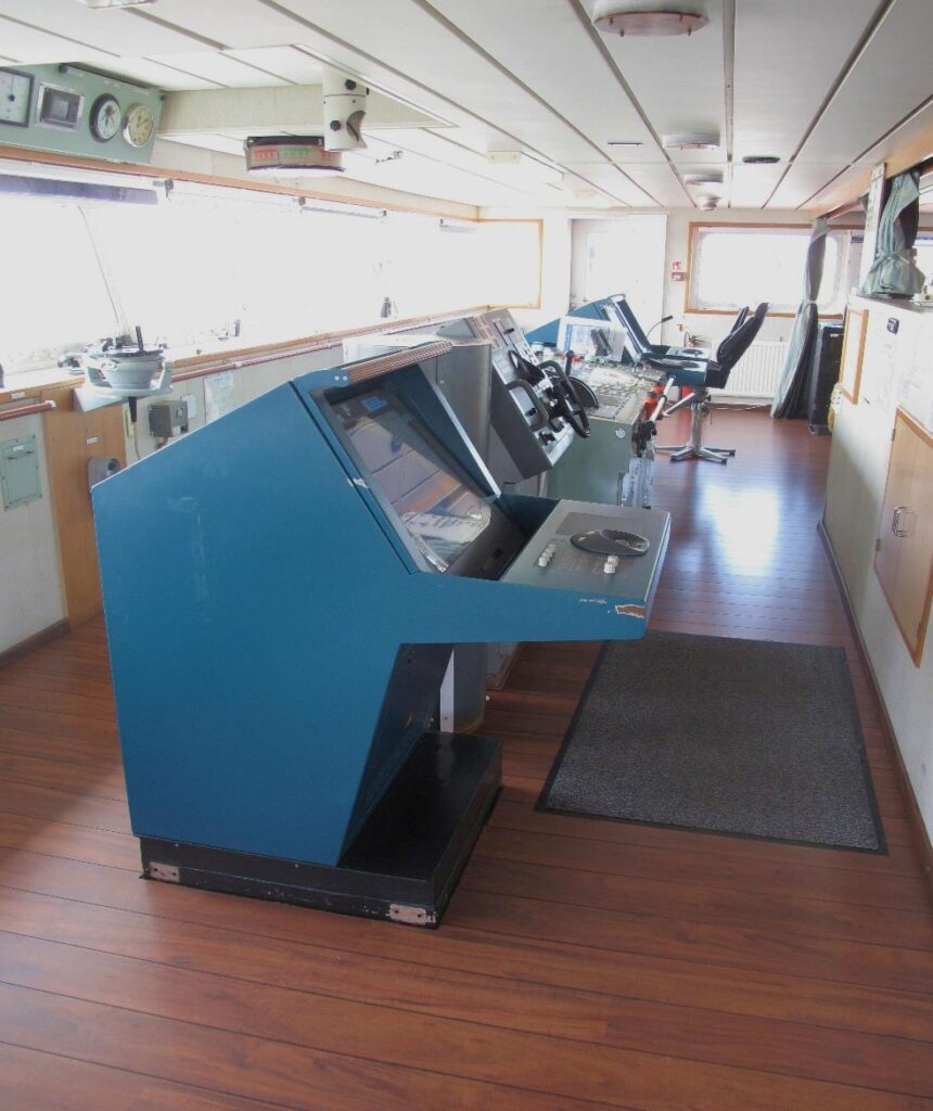
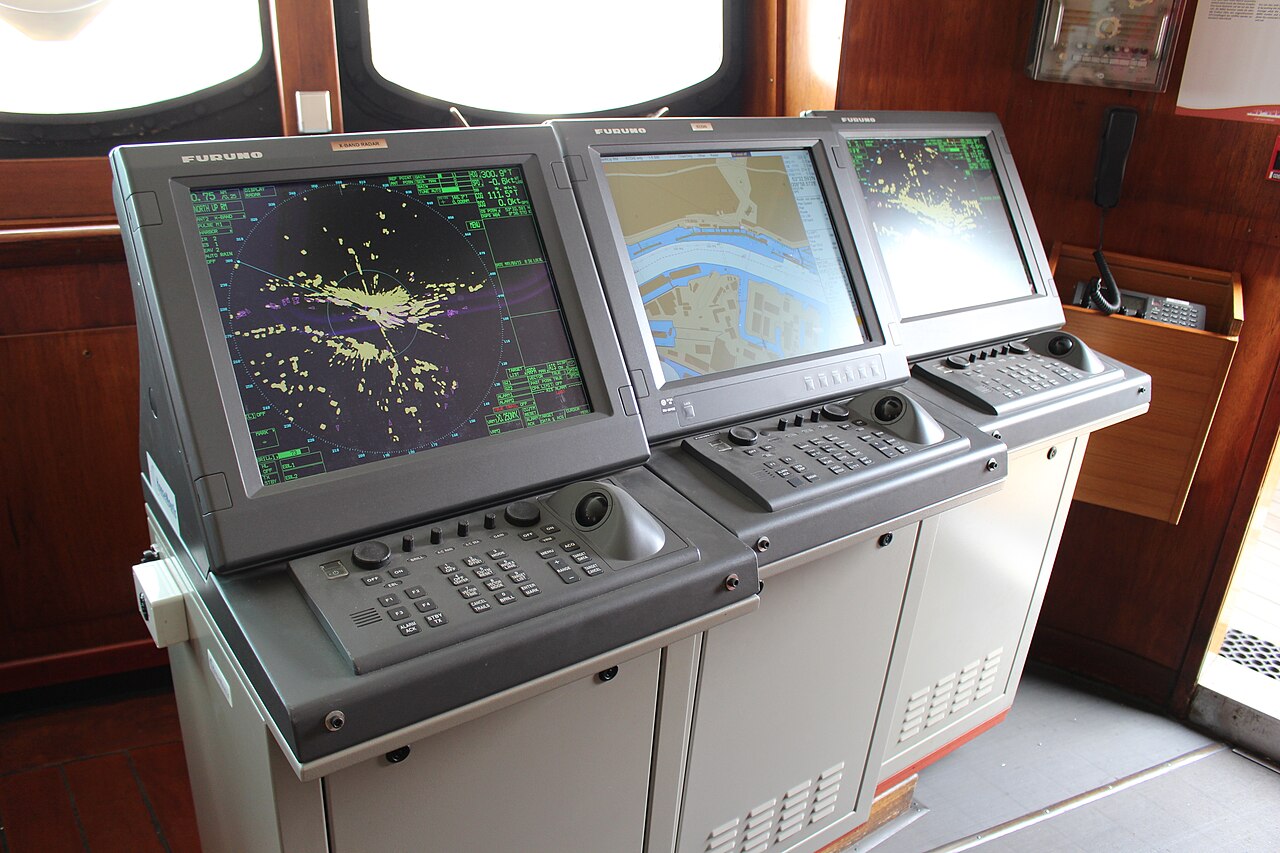
An Automatic Identification System (AIS) installation is a shipboard broadcast system that behaves like a transponder on the VHF maritime band. On board you typically have a transponder (or transceiver) with its antenna, and a display—often a stand-alone screen, a multifunction display, or an overlay on another navigation unit—where received reports appear as targets.
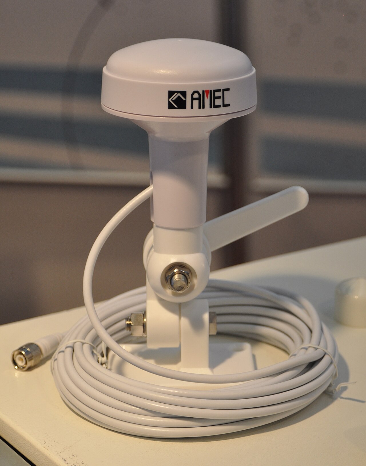
According to the U.S. Coast Guard Navigation Center’s AIS Frequently Asked Questions (opened September 29, 2026), AIS provides vessel information including the vessel’s identity, type, position, course, speed, navigational status, and other safety-related information automatically to appropriately equipped shore stations, other ships, and aircraft. The same FAQ states that an AIS set also receives such information from similarly fitted ships. The Navigation Center’s AIS Overview (also opened September 29, 2026) describes AIS as a shipboard broadcast system acting like a transponder in the VHF maritime band, and says that by selecting an AIS icon you can learn the ship name, course and speed, classification, call sign, registration number, MMSI, and other information—for ships within radio range.
That last phrase matters. AIS does not scan the water the way a radar set searches for returns. It broadcasts the transmitting vessel’s own reported position and motion, and it listens for other vessels that are likewise transmitting. A vessel with no set, or a set that is switched off, is not on the list. A kayak, a log, a disabled craft with a dead battery, or a boat whose antenna is blocked by a superstructure can be absent from AIS even when the water is busy. Your screen lists transmitters you can hear. It does not inventory everything afloat.
The Navigation Center’s Class A position-report page (Messages 1, 2, and 3), opened September 29, 2026, lists the dynamic fields a Class A unit broadcasts while underway: among them latitude and longitude, speed over ground (SOG), and course over ground (COG), plus navigational status and related parameters. The same page states that a Class A unit also broadcasts static and voyage-related data (Message 5) every six minutes, and that Message 5 includes the vessel name. The FAQ explains the practical consequence: position reports arrive frequently, while static data including the name is sent less often, so you may see position, course, and speed before the name fills in. None of that changes the core limit: if nothing is transmitting toward you, nothing appears.
Why an empty AIS list is not a chartplotter mismatch
A chartplotter problem and an AIS silence are different failures. In How to read a chartplotter when the chart and the GPS disagree, the tension is between the drawn chart and the GPS fix—two claims about where you are relative to the charted world. An empty AIS screen is not that kind of disagreement. It is not proof that the water is empty. It only means you are not receiving usable AIS reports from other vessels at that moment.
Radar, by contrast, can still show a return from a craft that never transmits AIS. That split—radar may paint a silent object; the plotter only draws the chart—is the high-level point of What marine radar shows that the chartplotter does not, which is the natural next read after this one. None of the three instruments replaces a lookout. AIS identifies transmitters. Radar may show reflectors. The plotter shows the chart under your fix. Eyes and ears still have to work the water.
What you can check on the set and on the rule pages
Pages opened for this article on September 29, 2026:
- https://www.navcen.uscg.gov/ais-frequently-asked-questions — USCG Navigation Center AIS FAQ (definition of AIS fields; Class A/B notes; reminder that AIS should not be solely relied upon for collision avoidance).
- https://www.navcen.uscg.gov/automatic-identification-system-overview — AIS Overview (name, course, speed, and related data for ships within radio range; transponder description).
- https://www.navcen.uscg.gov/ais-class-a-reports — Class A position report and static Message 5 field lists (position, SOG, COG, name).
- https://www.navcen.uscg.gov/ais-messages — AIS message catalog (position reports for Class A and Class B; static data messages).
- https://www.navcen.uscg.gov/navigation-rules-amalgamated — USCG amalgamated Navigation Rules, Rule 5 Look-out.
On the display, check for a vessel name (when the static report has arrived), position, course, and speed for targets that are transmitting, and confirm that your own set appears to be receiving. The FAQ notes that name and other static information can lag behind the first position reports; wait for the static update before assuming the identity field is missing forever.
On the rule page: Rule 5 (Look-out) on the amalgamated Navigation Rules page states that every vessel shall at all times maintain a proper look-out by sight and hearing as well as by all available means appropriate in the prevailing circumstances and conditions so as to make a full appraisal of the situation and of the risk of collision. AIS is one available means when it is fitted and working. It is not the look-out itself. Carriage thresholds that name which commercial vessels must fit AIS appear in the FAQ’s discussion of 33 CFR §164.46; this article does not restate those vessel-class carriage lines as a claim about your boat. For the purpose of this instrument article, the carriage line you need before you rely on the screen is: Not applicable as a substitute for Rule 5. The check before you rely on AIS is the lookout and the water, not the target list.
Use the list to name a transmitter—not to clear a gap
Before a passage, use AIS to identify a vessel that is transmitting: read the name when it arrives, note position, course, and speed, and treat that information as one input among others. Do not use the absence of a target as a reason to turn toward a gap, to cut a corner, or to pass closer to where a boat might be. The Navigation Center’s overview speaks of ships within radio range; it does not state a receive-range figure in nautical miles on the pages opened for this article. Write that as range not stated—and do not borrow a mile count from a brochure you did not open.
The FAQ is explicit on sole reliance: AIS users are reminded of Navigation Rule 7, and the FAQ states that AIS, while an invaluable situational tool, should never be solely relied upon for collision avoidance or navigational decision-making. That sentence is the policy line that matches Rule 5’s look-out duty. A clear AIS list can mean clear reception of transmitters—or it can mean silence, blockage, or distance beyond what your receiver is hearing. You cannot tell which of those is true from the empty list alone.
One fact you can take to the display
From the USCG Navigation Center Class A AIS Position Report page opened September 29, 2026: a Class A AIS unit broadcasts dynamic information including latitude, longitude, speed over ground, and course over ground on a short interval while underway, and it broadcasts static and voyage-related data—including the vessel name—every six minutes. The FAQ’s plain-language definition matches that picture: AIS provides identity, type, position, course, speed, and navigational status among the information in the system. That is the sourced fact this article rests on. No carriage threshold for a specific recreational class is asserted here.
The mistake that turns a useful list into a hazard
The harmful mistake is treating a clear AIS screen as an empty sea, or steering on AIS alone without a lookout. A silent boat, a blocked antenna, a kayak, or a floating log can be missing from AIS. Radar may still show a return; the plotter only draws the chart. Neither fact licenses you to skip sight and hearing. Use AIS to put a name and a motion vector on a vessel that is transmitting. Keep the lookout on the water for everything else.
Read next: How to read a chartplotter when the chart and the GPS disagree · What marine radar shows that the chartplotter does not